Geospatial engineers – who are they?
Geospatial engineers are engineers that specialise in studying the surface of the Earth. They use Geographical Information Systems (or GIS for short) to survey land and construct maps.
From working for a construction company to getting involved with disaster management programmes or city planning projects, geospatial engineers are in-demand in a variety of fields.
How do you become a geospatial engineer?
To become a geospatial engineer, you can study a variety of subjects at university, including geography, computer science or earth sciences.
Whichever programme you choose, it is handy to look at the course content beforehand to see whether there are modules linked to GIS.
However, university isn’t the only way to become a geospatial engineer. There’s also the option to complete an apprenticeship. For example, there’s a geospatial mapping and science specialist apprenticeship, providing you with the opportunity to receive work experience and fully funded training. At the end of your apprenticeship, you’ll receive a qualification equivalent to a degree.
But can you become a geospatial engineer by studying physics? You absolutely can!
Physics is the study of how energy and matter interact in space over time. GIS is built upon the principles of physics, as it uses electricity, the Earth’s magnetic field and a wide range of other variables to interpret the world around us.
Compared to geography students, who mostly use GIS to create models, you will have a better understanding of the underlying mechanics of GIS tools, putting you in a good position to make modifications to help improve their accuracy and the variety of functions they can carry out.
As a physicist considering a career in geospatial engineering, it is recommended to find courses that allow you to pick GIS modules.
Geospatial engineering is a diverse discipline, meaning your day-to-day tasks vary a lot depending on where you work. You may wish to do a master’s degree to specialise in a particular topic to maximise your chances of getting the role you want.
The role of a geospatial engineer
As we have mentioned earlier, your role will depend on what area of the discipline you specialise in.
If you are physicist interested in the mechanics and physics that make GIS work, you may find yourself working in the lab of a company or university that aims to develop and improve GIS tools that allow users to take more accurate measures and create better models.
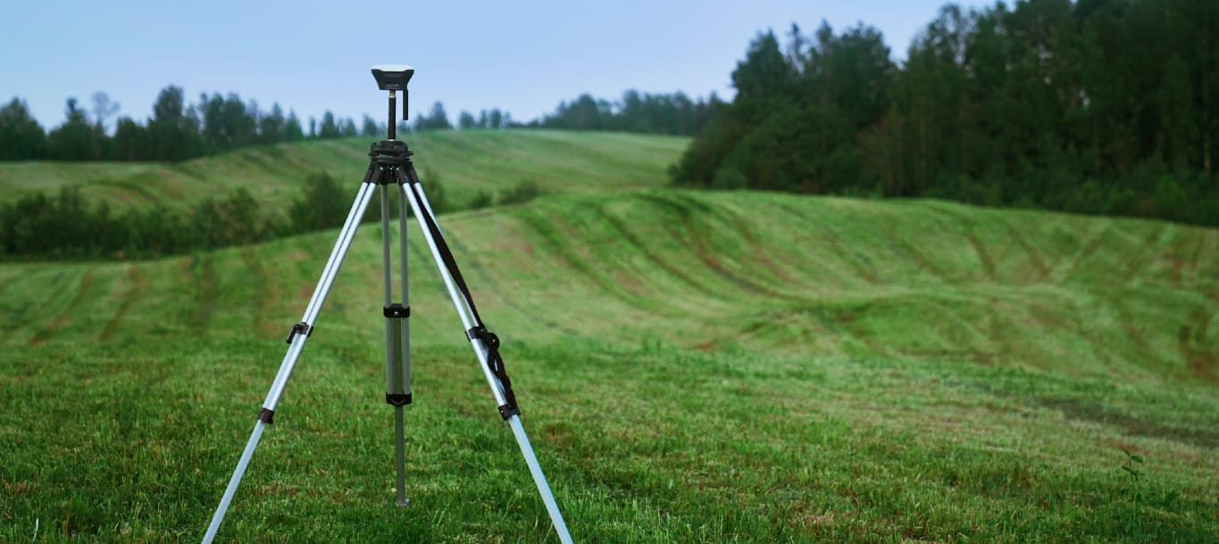
Geospatial engineers often work as surveyors, analysing the land using GIS. To achieve this, they utilise a variety of tools, including satellite imagery and drones, to examine the topography of the Earth.
Construction companies need geospatial engineers to survey the land prior to commencing building works at a particular site. They create models that can easily be interpreted by those who are not experts in the discipline.
As a geospatial engineer specialising in topographical surveys, you may have the opportunity to get involved with projects that aim to reduce the risk of natural disasters.
The models you create help officials understand what areas are in danger of being negatively affected by a natural event and help develop solutions to keep populations and their assets safe.
Your skills
Geospatial engineers have to have a good knowledge of or willingness to learn about computer science, more specifically GIS. It is an integral part of the discipline, and having a basic understanding of how GIS works and its principles is crucial if you want to carry out day-to-day tasks in your role.
You must also have excellent analytical skills, as you need to be able to analyse the data collected and interpret it. Having the ability to communicate technical information to a non-technical audience enables you to relay the data to your supervisors who might not have a good understanding of GIS.
For physics graduates, becoming a geospatial engineer is an ideal career pathway to consider if you also have an interest in geography and GIS.